Online vector maps and ocean depths
· 2 min read

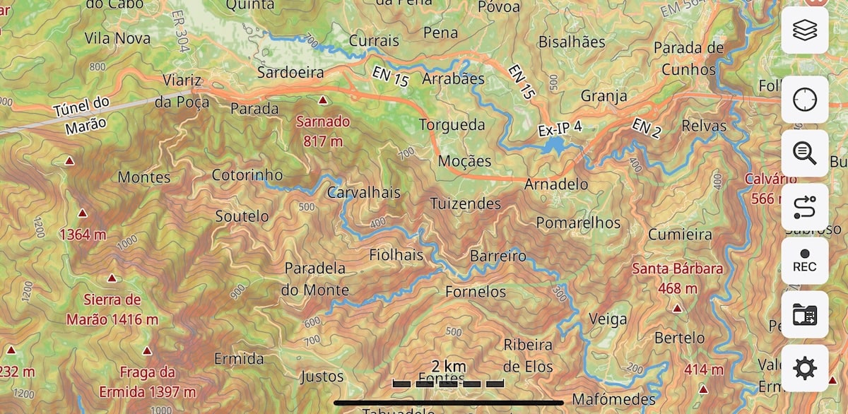
With Guru Maps 6.1, you no longer need to download an entire region just to explore it in detail. Vector map data and elevation are now streamed directly to your device as you browse — open the map and start exploring right away.
What changed
Online raster maps have been part of Guru Maps for a while. In version 6.1, vector maps and elevation data work the same way — streamed over your internet connection and cached locally so repeated use stays fast.
In practice, this means crisp, detailed vector maps with no waiting for a region download to finish. Just open and go.