Share Your Activity as a Picture
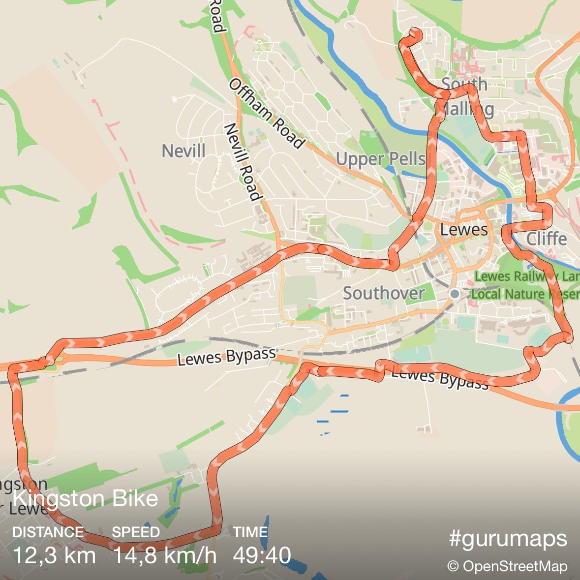
Now, you can easily create a picture with your GPS track and activity stats recorded in the app, ready to share with your friends and family:
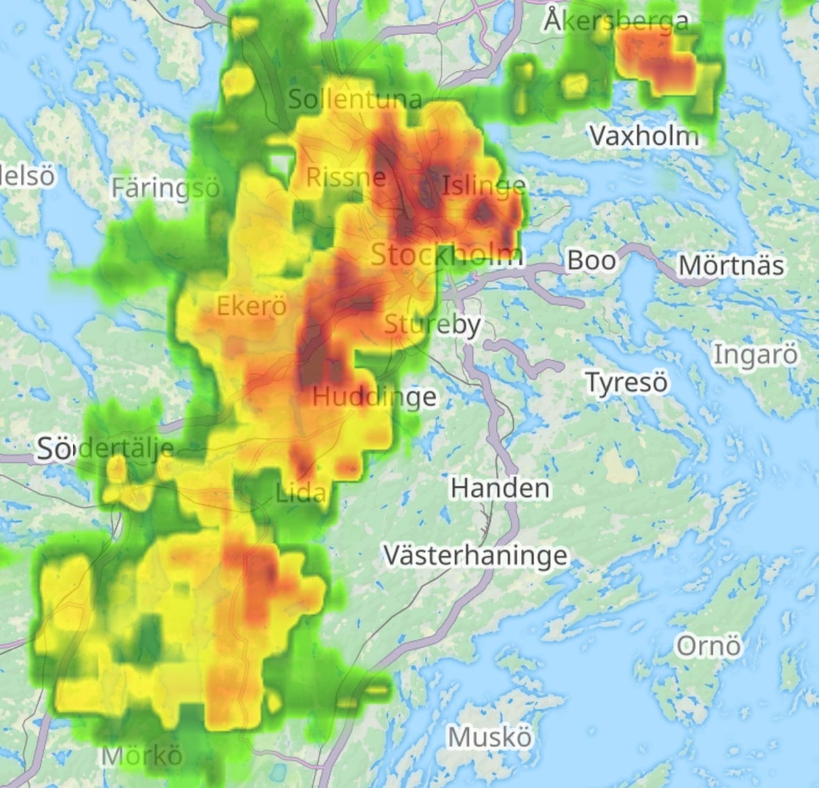
We're thrilled to announce the new real-time weather map layer that shows the Precipitation Intensity within the Guru Maps app. Whether you're hiking through the mountains, cycling across town, or motorcycling down scenic routes, staying informed about precipitation intensity can significantly impact your safety, visibility, and overall experience.
Weather conditions are a critical factor to consider when planning any outdoor route. Understanding the instantaneous precipitation rate at ground level can help you make informed decisions about whether to start your journey or when to take breaks.
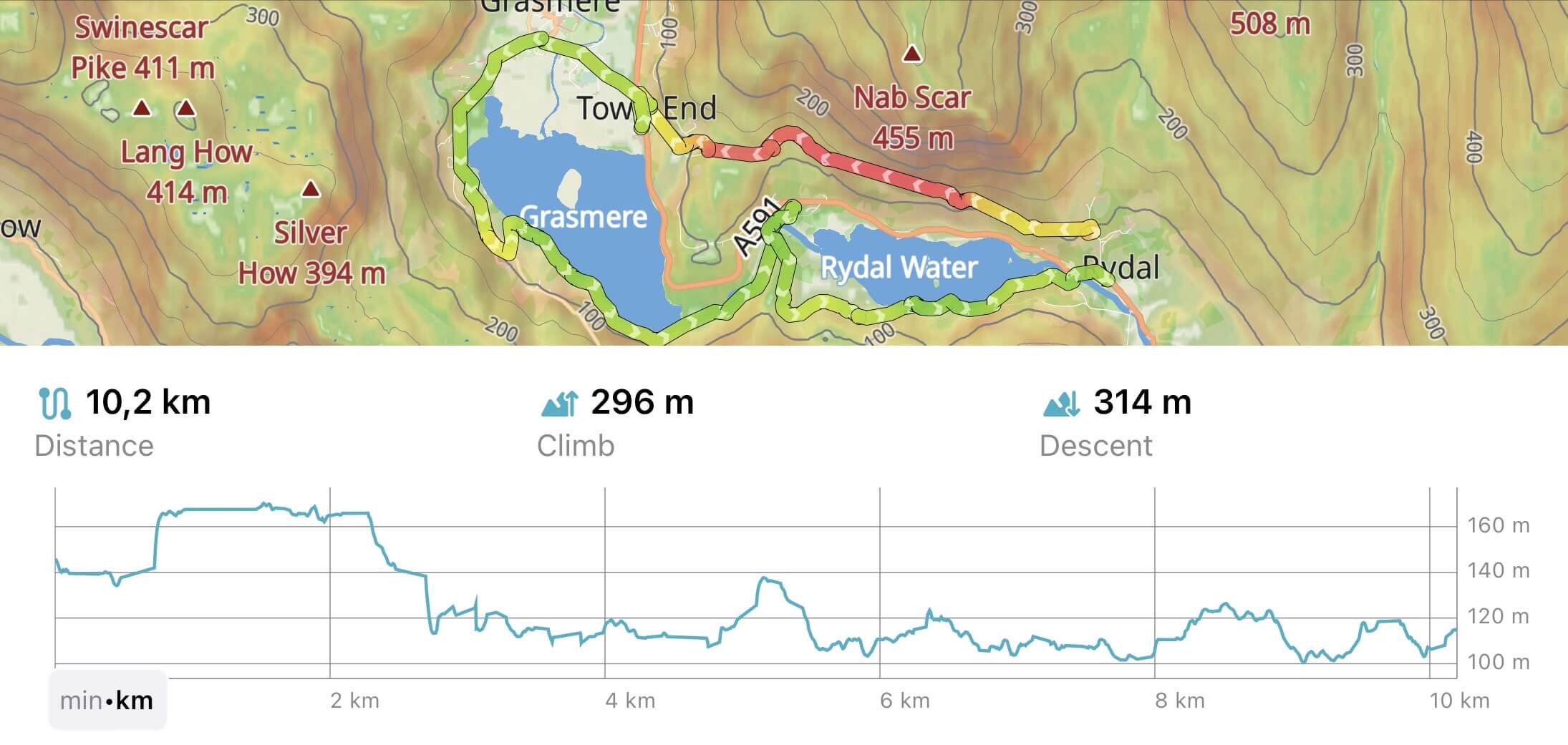
Our team has been hard at work for the last few months, and we are delighted to introduce the all-new GPS track analysis and visualization features in Guru Maps, available with v5.4.0
.
Whether you are hiking, biking, running, or simply strolling through the great outdoors, these new features empower you to analyze and visualize your activities in Guru Maps like never before.
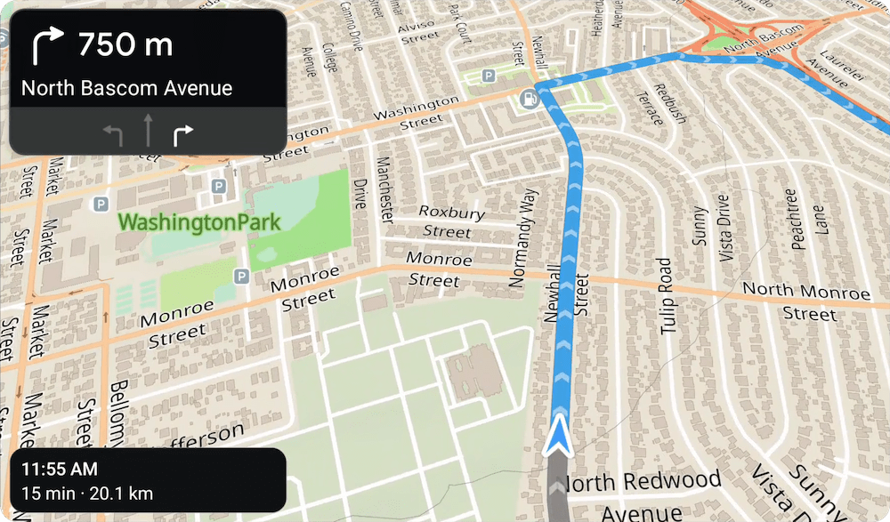
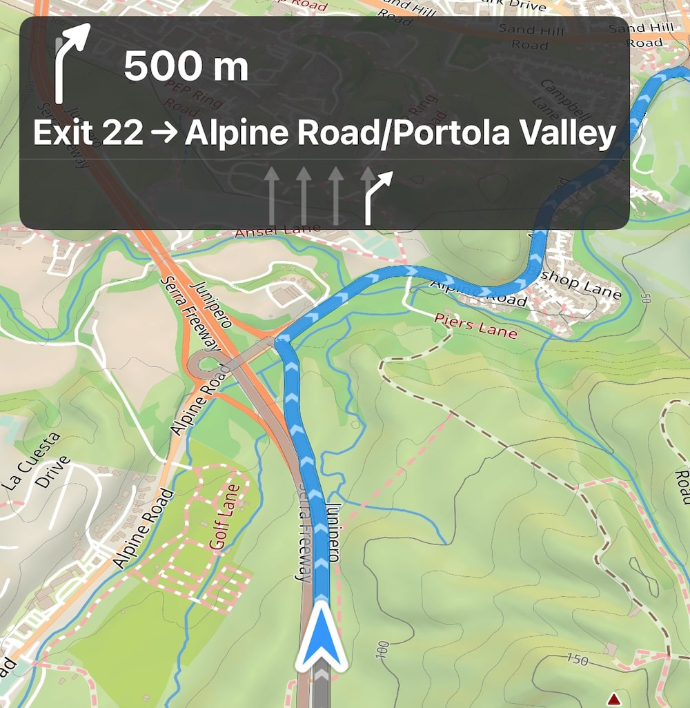
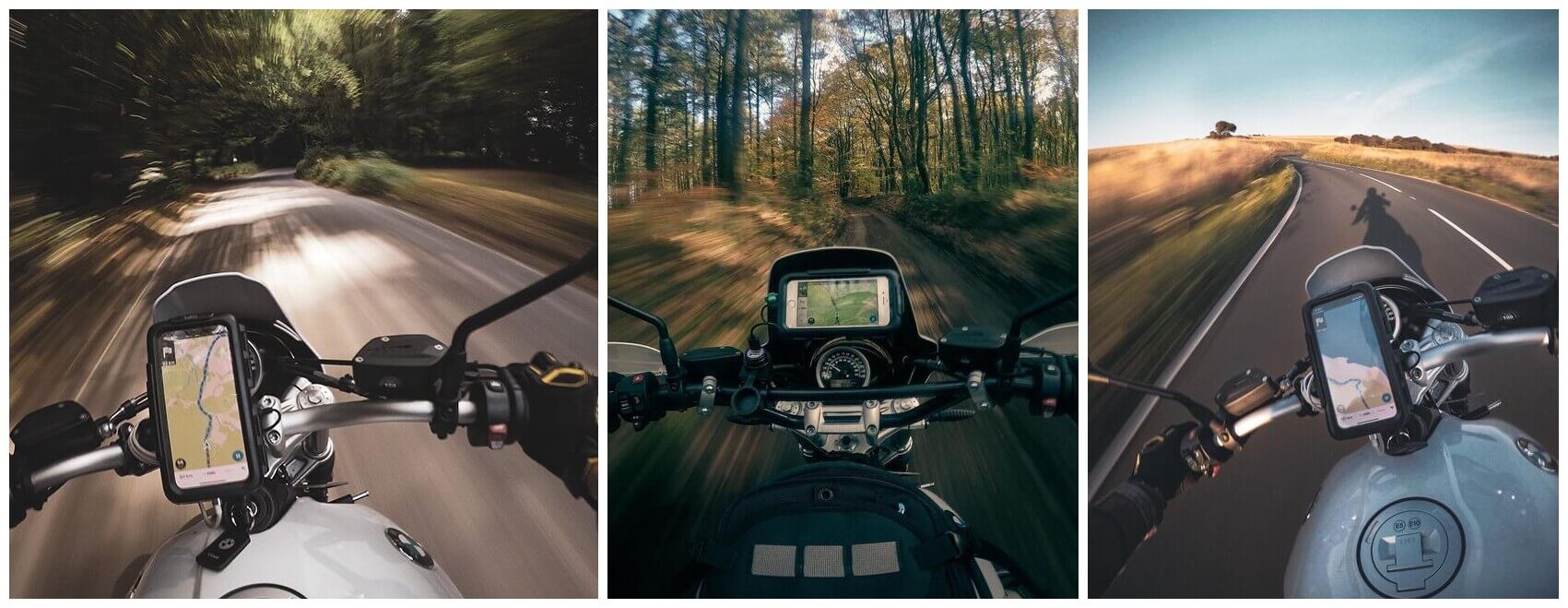
As developers of Guru Maps, we are constantly working to make our navigation app the best it can be for all of our users. We're excited to announce that starting from version 5.3.1 Guru Maps now includes navigate settings tailored specifically for motorcyclists and truckers.