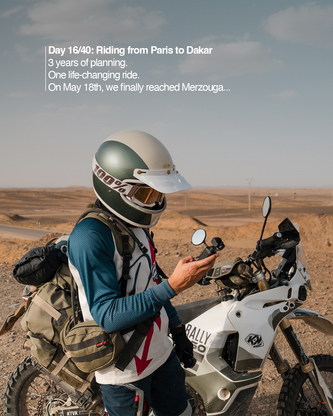
Meet Clément Lallemand — adventurer, storyteller, and motorcycle traveler — currently on an epic journey from Paris → Dakar → Paris, following the legendary tracks of the original Dakar Rally with Guru Maps.
Together with his friend, Clément set out to relive one of the most iconic overland routes in the world — pushing their skills, endurance, and curiosity to the limit. They’re tracing the dusty trails, mountain passes, and open roads that connect Europe to Africa, documenting every stage of the ride on Instagram.
Why Guru Maps?
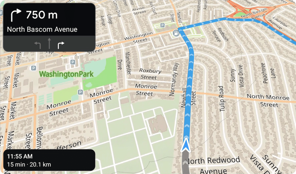
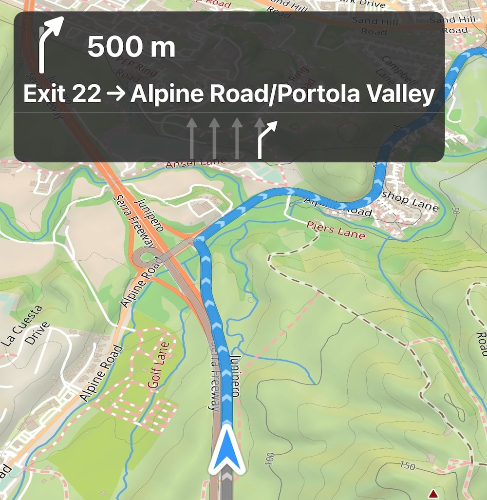
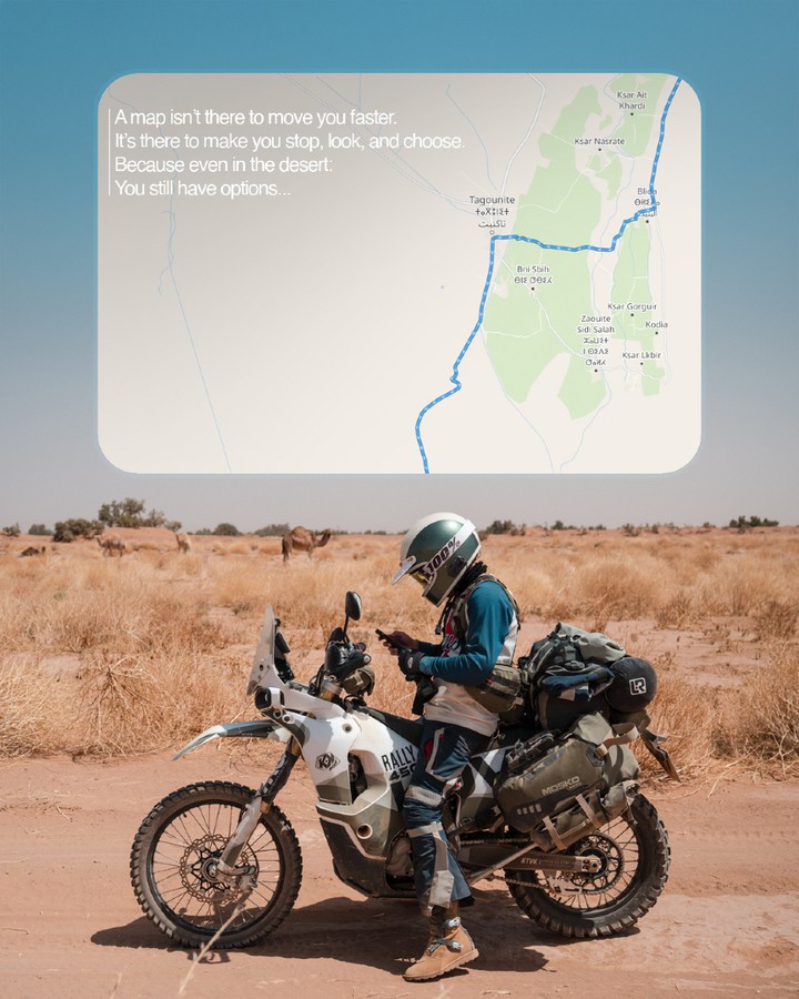
On many parts of the route, there’s no phone signal at all — that’s when offline maps really matter.
"For years, I struggled to find a map app that was both powerful and pleasant to use. Guru Maps is the first one that truly combines simplicity, reliability, and a clean design — it’s been a real pleasure to navigate with it throughout this adventure. Beyond that, Guru Maps supported this project from the beginning, which proves they’re not just another app on the market, but a brand that helps create real stories worth sharing."
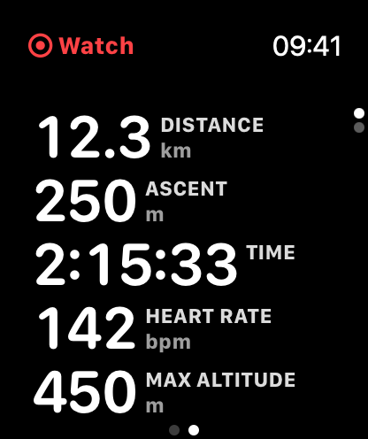
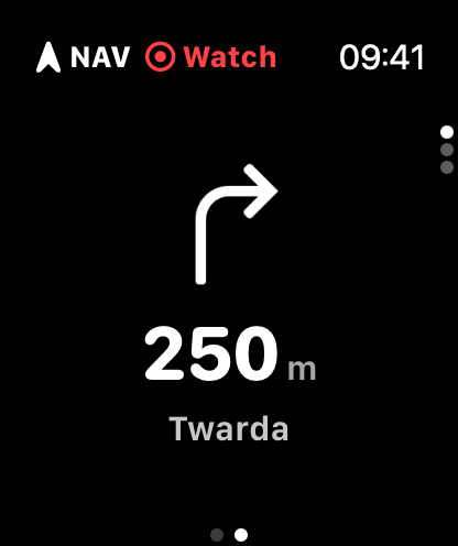
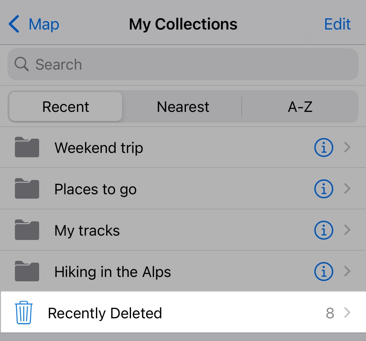
With Guru Maps, Clément can:
- load and follow GPX tracks inspired by the original Paris–Dakar route,
- plan the next stage of the journey offline, without worrying about coverage,
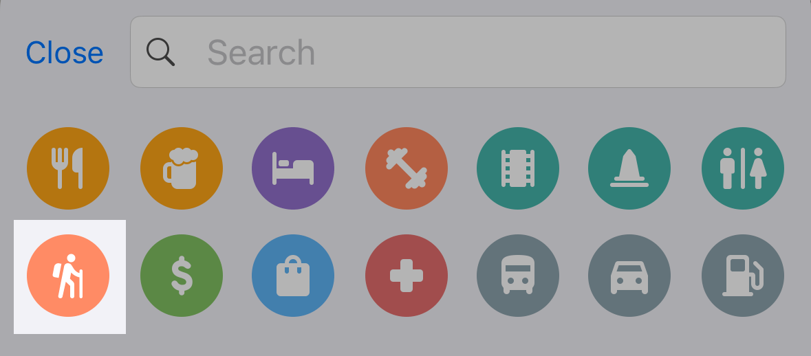
- mark waypoints for refueling, camping, and highlights,
- track progress and share screenshots from the map with his followers.
The spirit of the road
From the streets of Paris to the deserts of Morocco, this journey celebrates what travel is really about: freedom, endurance, and discovery. It’s not about how fast you go, but how far you’re willing to push yourself — and how you find your way when the road disappears.
Guru Maps is happy to be part of this journey, helping Clément explore confidently wherever the road leads.
Follow the adventure